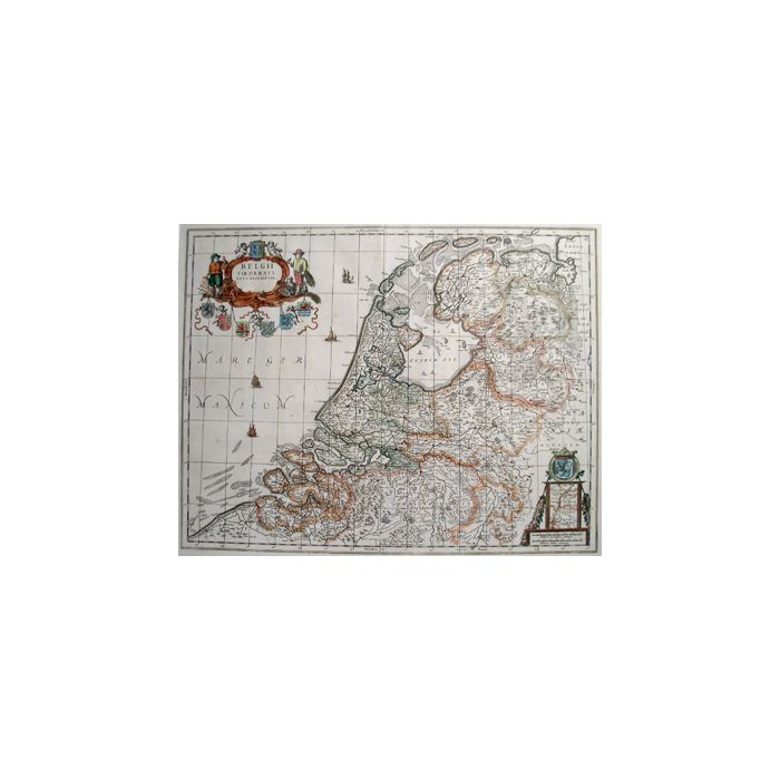
Kaart van Nederland, 17e eeuw
Map of The Netherlands, 17th century engraving
Object no.
6063
Op voorraad
Belgii foederati nova descriptio, handgekleurde kaart van de Republiek der Zeven Provinciën, door Joannes Janssonius, Amsterdam, 1658. Afmeting 41 x 52 cm, in passepartoutlijst. (Verkocht)
Belgii foederati nova descriptio. Detailed map issued by Joannes Janssonius, Amsterdam 1658, covering the Republic of the Seven United Dutch Provinces. (sold)
| Beschikbaarheid | Verkocht |
|---|


