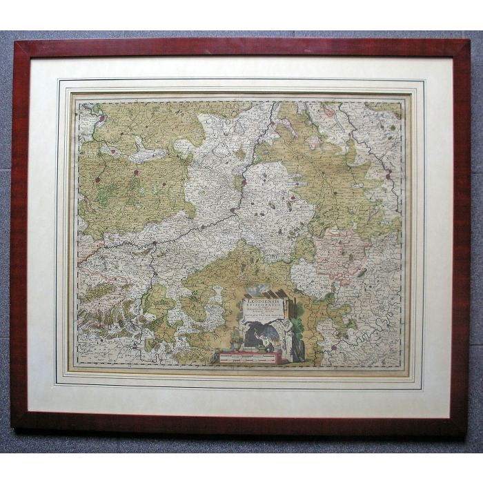
Handgekleurde kaart van het Bisdom Luik, uitgave Nicolaas Visscher, ca. 1680
Liège Episcopate map, late 17th century
Object no.
-258Lm
Op voorraad
'Leodiensis Episcopatus in omnes subjacentes provincias distincte divisus / per Nicolaum Visscher, Amst. Bat., cum privilegio Ordinum Hollandiae et West-Frisiae'. Oud-ingekleurde kaart op folioformaat van het Bisdom Luik, begrensd door Antwerpen, Maastricht, Keulen, Trier en Dinant. Uitgave Nicolaas Visscher, Amsterdam, ca. 1688. Afmeting 48 x 58 cm, in passepartoutlijst achter glas (68 x 78 cm). (Verkocht)
Highly detailed map of the Liège episcopate, showing the region between Antwerp, Maastricht, Hasselt, Hamont, Roermond and Cologne. (sold)
| Beschikbaarheid | Verkocht |
|---|


